CIDCO reference wall
Completion: 2014
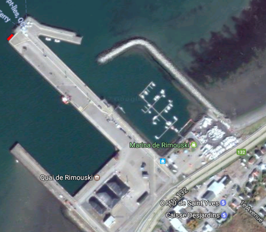
CIDCO’s reference wall is attached on the north face of wharf no. 1 of the Port of Rimouski (figure 1).
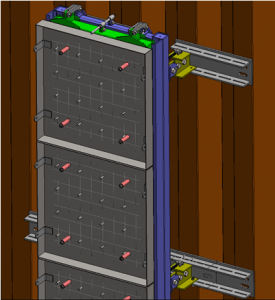
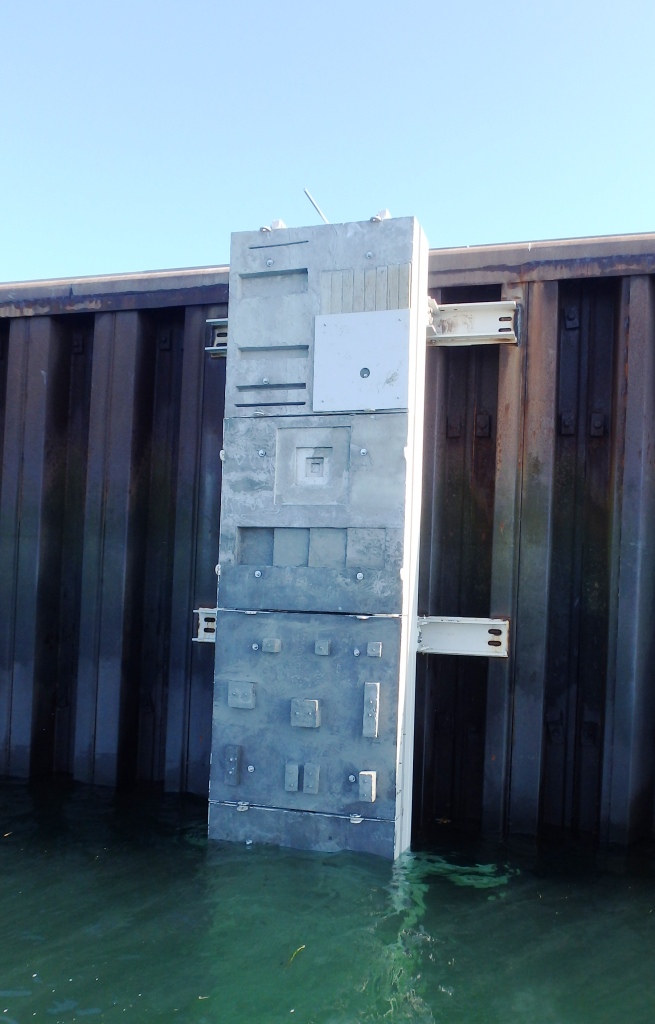
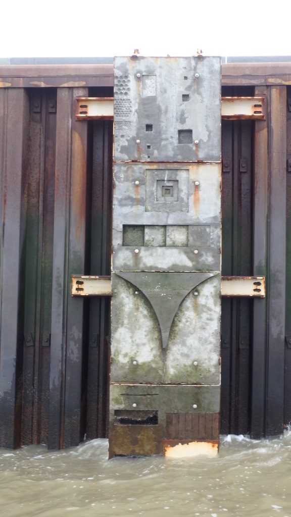
It consists of a fixed part (in blue on figure 2) welded to the sheet pile wall and a mobile part (in green on figure 2) that slides into the previous one. The mobile part consists of 6 concrete slabs of 1.5 metres each side. It therefore totals 9m high by 1.5m wide. The concrete slabs can be assembled in any order (figure 3).
Each plate offers shapes that attempt to mimic structural defects observable on existing infrastructures (cracks, inclusions, extrusion, change of materials, etc.). Each plate was scanned using a Handy-Scan handheld LASER scanner. The fine geometry of each plate (as of 2014) is therefore very well known.

The two bottom plates (1 and 2) are below chart datum and are therefore submerged at all times. During high tide events (water level of 4m and above), all plates (1, 2, 3, 4 and 5), except the top plate (6), are submerged.
The digital surface model for the CIDCO reference wall in its 2015 combination is available for download on the CIDCO FTP site.
User: PoleInspection
Pass: PoleInspection
- The coordinates are in NAD83(CSRS) UTM19N.
- Altitudes are given relative to the ellipsoid.
- X positive northward, Y positive eastward and Z positive downward.